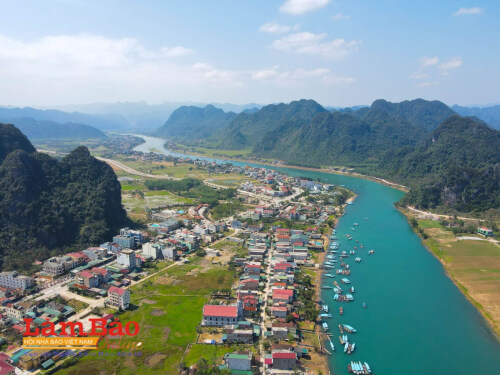
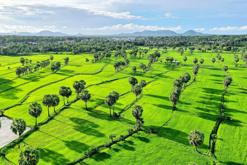
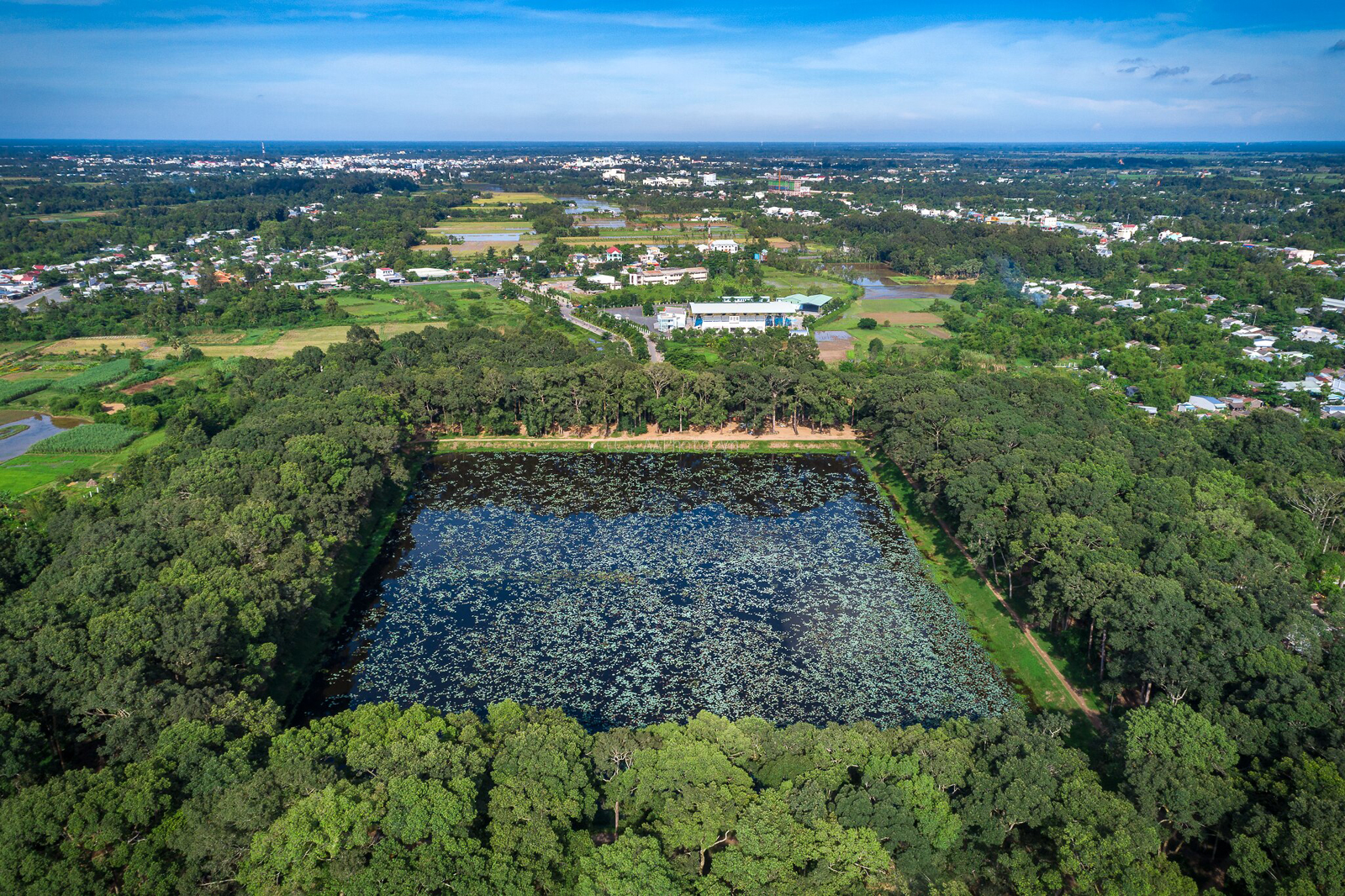
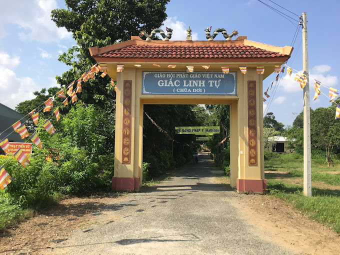
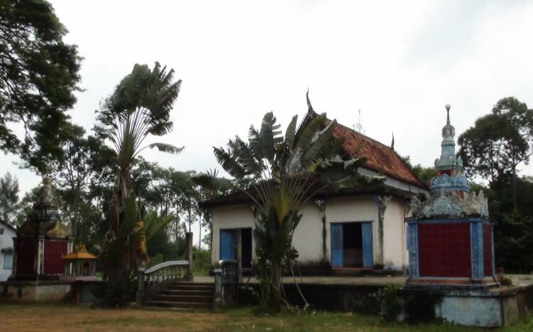
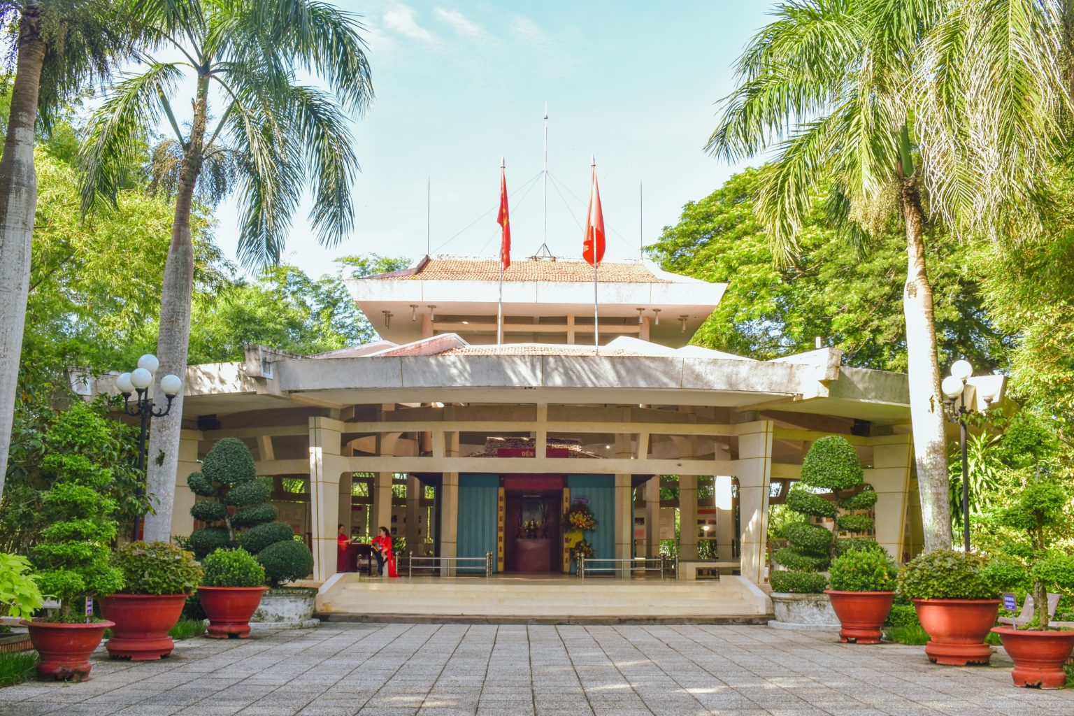
Rung Duoc eco-tourism area is located in Long Khanh commune, Duyen Hai district, Tra Vinh province. This Western tourist destination is located in the mangrove ecosystem along the Southwest coast. This is a place of conservation and habitat for many species of wild animals and plants, as well as aquatic species that are at high risk of extinction. Local people call it mangrove forest because this tree species surrounds the entire ecological area with more than 20 years of age and spreads over a huge area of more than 200 hectares.
The mangrove forest is located not too far from the center of Tra Vinh province, only about 7 km from the famous Ba Dong tourist area, so it is quite convenient for tourists to travel. This forest has many types of trees typical of the mangrove ecosystem such as mangroves, fish sauce, dates, parrots... of which the largest number is mangrove trees. This type of tree not only prevents the intrusion of sea water into the mainland but also serves as a habitat for many types of animals typical of mangrove forests. Therefore, this tourist and conservation area has high ecological value.
Moreover, the mangrove forest of more than 200 hectares is located in the mangrove forest system along the Southwest coast, so it is carefully cared for and preserved by the government.
Tra Vinh is only about 170k from Ho Chi Minh City, so visitors can go to the Rung Duoc tourist area in this province by motorbike or bus. The specific way to move is as follows:
By motorbike: Starting from Saigon, you go to Binh Chanh, then turn onto Highway 1 and continue in the direction passing Ben Luc bridge to Tan An city of Long An province. From here, visitors continue to My Tho city, along Highway 60 through Ham Luong bridge to reach Mo Cay district. Continue turning onto Highway 53 and go straight and you will reach Tra Vinh city. From the city center, you only need to go about 51km to reach the Mangrove Forest tourist area.
By bus: The journey is quite simple because you just need to go to Mien Dong bus station, choose to buy a bus ticket to Tra Vinh with a ticket price of around 100,000 VND/person. When you arrive at the bus station, choose to travel by taxi or motorbike taxi and you will reach the attractive Tra Vinh tourist destination called Mangrove Forest.
Tra Vinh is located in the Mekong Delta region, so it also has a temperate tropical climate typical of this region. Just like the provinces of Ben Tre, Tien Giang, Long An, and Tra Vinh, it is cool all year round, so visitors can come to the Rung Duoc ecological area, Ba Om pond, Long Tri island, and Ho island tourist area at any time. Any time of the year is fine. However, the advice that indigenous people often give tourists is to choose to go in the rainy season because this is the time when trees grow, the climate is pleasant, and animals are more diverse than the dry season. Specifically, from May to November every year, with heavy rainfall and flooding season, the vegetation in Mangrove Forest grows strongly, attracting many animal species to live, feed and breed here. .
When checking into Tra Vinh Mangrove Forest, visitors are free to experience fun, sightseeing, and exploration, most notably the following activities:
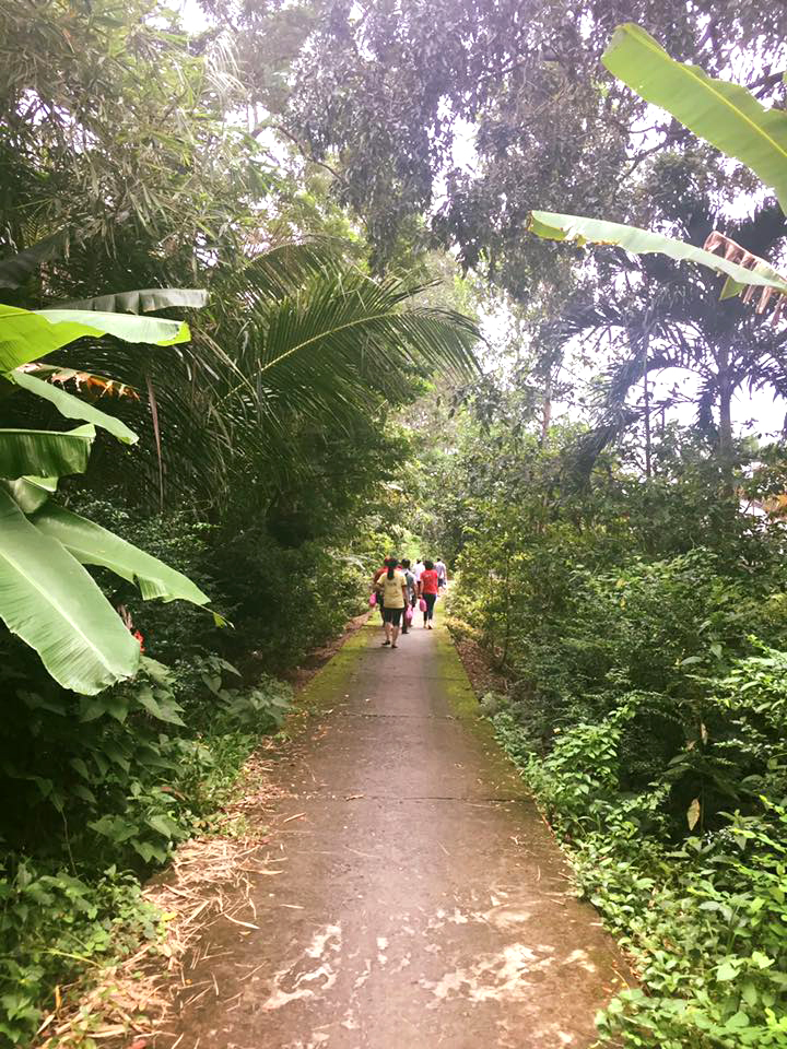
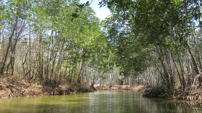
Excursing to the Mangrove forest by road or waterway: depending on your preferences and schedule, you can choose one of two ways to visit, but exploring the river and forest by waterway is often chosen by tourists more because If you go this way, you will be able to sneak into large and small mangrove bushes, with trees that are decades old, growing together below but still leaving space above, creating a vast blue sky. Tourists can freely enjoy the exciting and new feeling when each motorboat floats in the fresh space of thousands of trees, birds and many other typical creatures of the forest - river.
Tra Vinh Mangrove Forest also has a diversity of animal and plant species like Can Gio mangrove forest or Nam Can Ca Mau because there are many similarities in climate and soil. The fauna here is truly rich with monitor lizards, squirrels, weasels, cobras, turtles, etc. along with many types of fish, shrimp, aquatic products and many typical birds of the mangrove forest. .
Coming to the ecological area, you will feel like you are slowing down, experiencing the feeling of being completely immersed in nature, heaven and earth, freely breathing the fresh, cool air of the countryside.
In addition to the above activities, when coming to Tra Vinh Mangrove Forest tourist area, you will also have the opportunity to listen to the river songs, imbued with the countryside flavor of the local people. When sitting on small boats gliding, don't forget to spend some time, chat and learn about the lives of local people. The feeling of hearing rustic melodies, rustic words, and daily life stories of the people of this land amidst the cool and fresh nature is truly very interesting.
There are many delicious dishes and famous specialties that have made the name of Tra Vinh cuisine. So when visiting the Rung Duoc tourist area in particular and Tra Vinh in general, don't miss the experience of eating noodle soup, rice noodles, porridge, Ben Co noodle soup, dishes made from shrews, grilled fish of all kinds. over a fire made of dried mangroves, silver shrimp with lemon, brown fish cooked in sour hot pot with fruit, fish sauce, etc. The dishes are sold in many places, but tourists should visit delicious restaurants in Tra Vinh to Feel free to choose and enjoy.
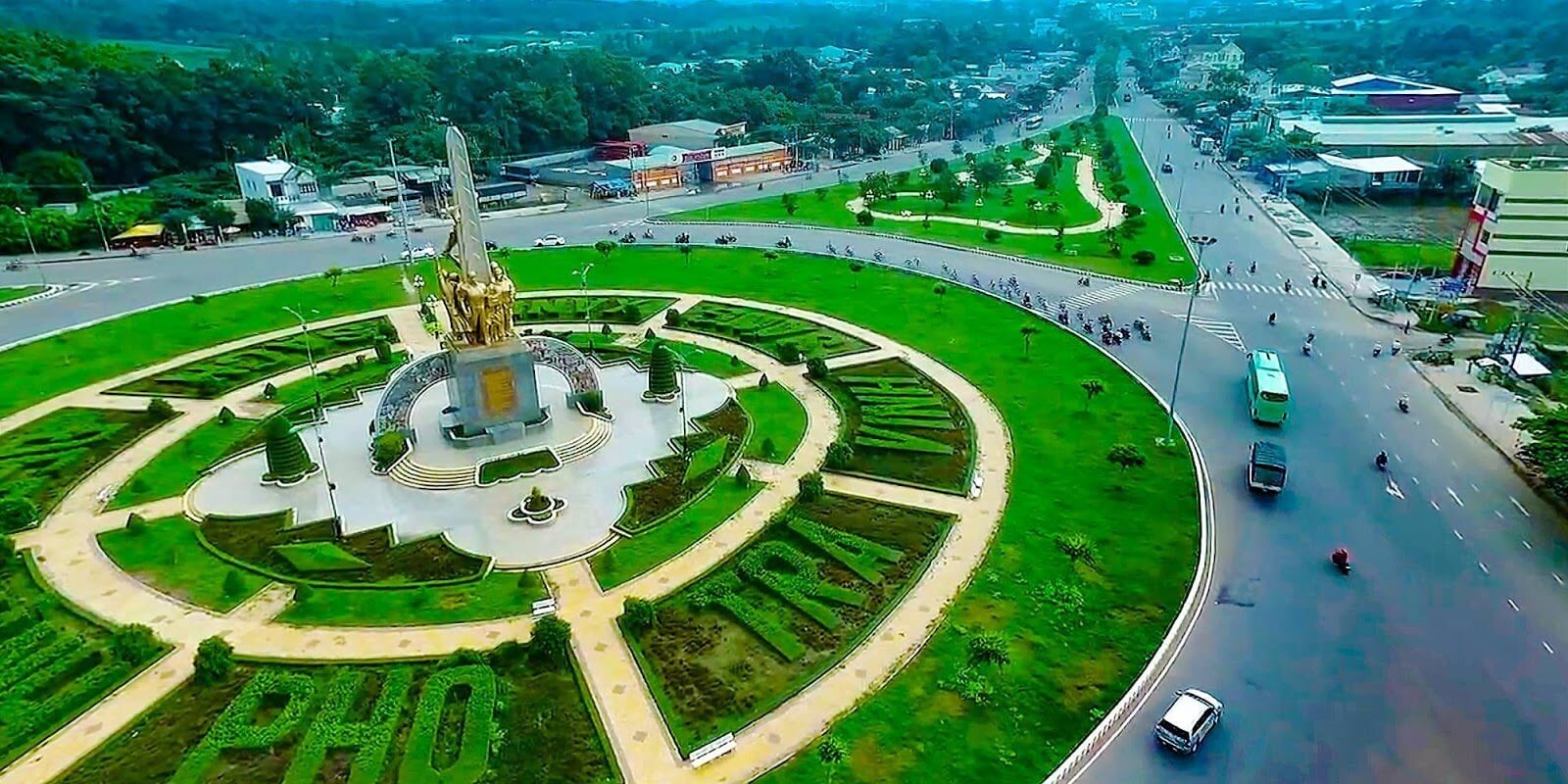
Tra Vinh
2343
view
November to April

 vn
vn en
en ja
ja ko
ko zh
zh

 VIP member benefits